
Ben Rudd's Management Trust - Maps and Information
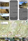 |
Brochure (directions and map) for OTMC Ben
Rudd's Property |
  |
Version 2 of the Ben Rudd's brochure
(designed to be folded) |
 |
|
 |
Location
photo outlining approximate Ben Rudd's boundaries
|
 |
Photo Gallery - Circumnavigation of Ben Rudd's Property, October, 2015 |
 |
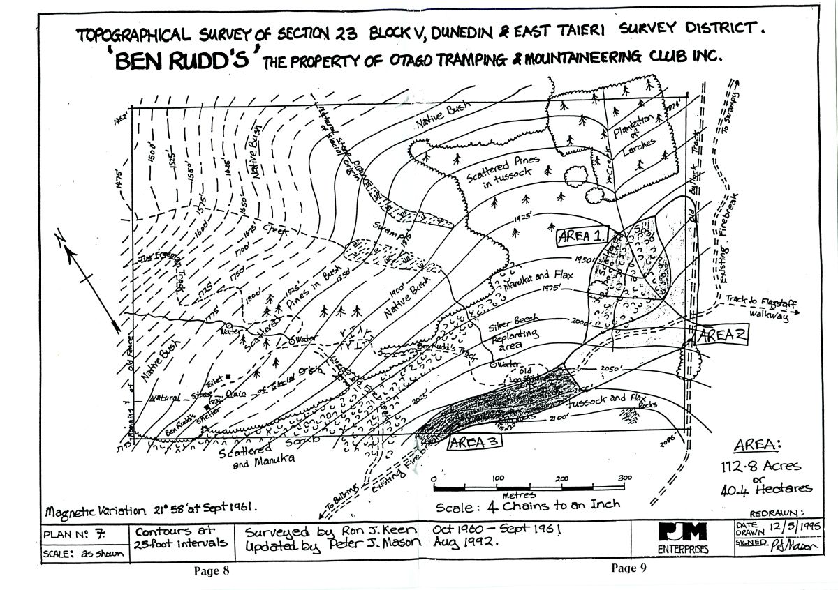
Ben Rudd's Property Map (Antony Hamel, Silver Peaks Press, 1998) |
 |
|
 |
Spiers Road Route to Flagstaff and Ben Rudd's (Front - Map) |
 |
Spiers Road Route to Flagstaff and Ben Rudd's (Back - Directions) This is the original route to Flagstaff and Ben Rudd's Property - predates the current Firebreak and Pineapple Tracks |
 |
|
 |
|
 |
|
 |
|
 |
OTMC Bulletin Supplement (Oct 1997) - Future Direction for Ben Rudd's Property I Map from same publication |
|
Email the Ben Rudd's Management Trust for updates to the property |